
Early Land Use
The first records of land use in modern day NYC occur in 1626. As the settlement sought to expand to a larger plot of land, Peter Minuit, the governor general of the settlement, purchased Manhattan Island from the natives [i]. It was then that the first records of land use planning are recorded. The Castello Plan, created by a surveyor named Jacques Cortelyou, served as an early city map of Manhattan Island.
 Castello Plan, 1660
Although vague in details, observing the Castello Plan shows land use techniques that were widely adopted in city planning back in Europe. Features such as residential districts, emphasis on public buildings, fortifications, and main streets are present.
In 1664, the British would conquer New Amsterdam and rename it ‘New York’ after its new proprietor, the Duke of York [i]. As the city continued to grow and evolve, early city layouts continued to show careful structure into how land was zoned off in the area, with features such as agricultural areas, as shown by the layout of New York in 1695.
In 1664, the British would conquer New Amsterdam and rename it ‘New York’ after its new proprietor, the Duke of York [i]. As the city continued to grow and evolve, early city layouts continued to show careful structure into how land was zoned off in the area, with features such as agricultural areas, as shown by the layout of New York in 1695.
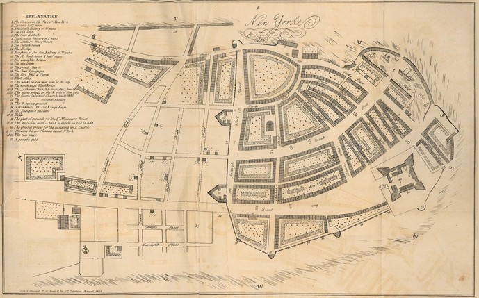
New York, 1695
[i]New York City. History. http://www.history.com/topics/new-york-city. Accessed on 7/29/13.
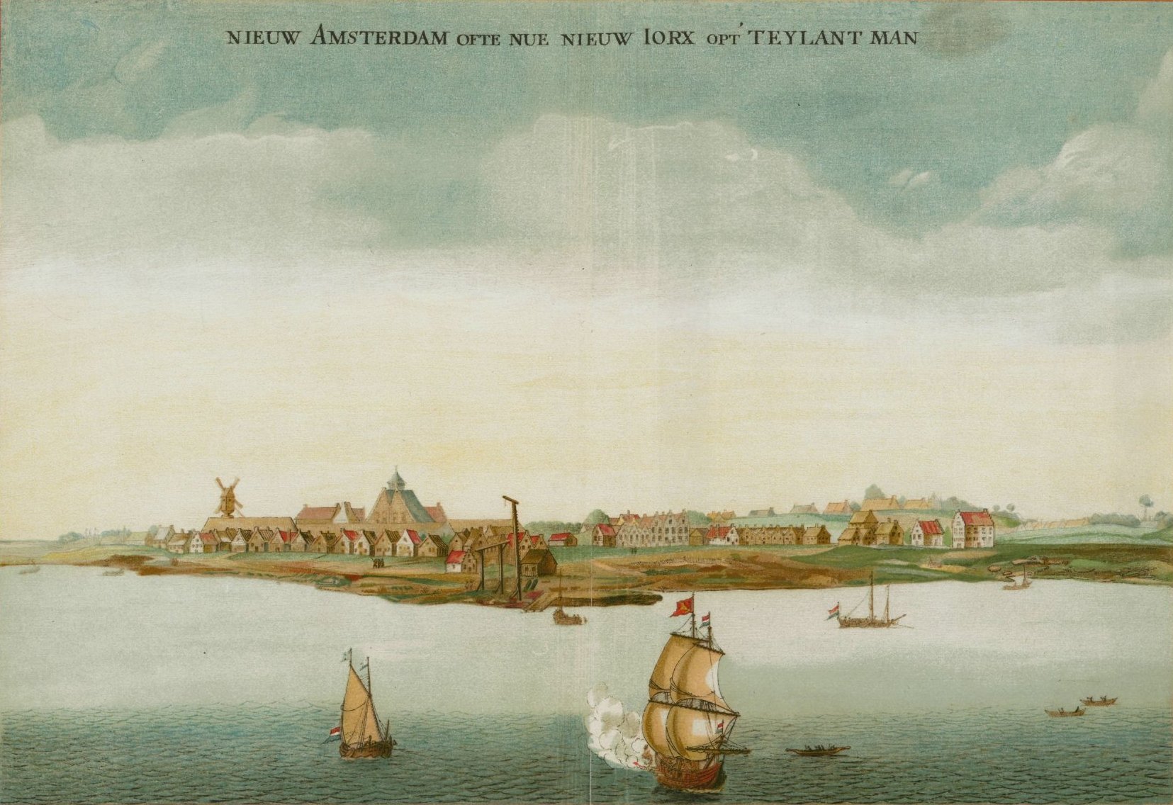
Header image retrieved from http://www.geni.com/blog/wp-content/uploads/2012/05/New-Amsterdam2.jpg
Header image retrieved from http://www.geni.com/blog/wp-content/uploads/2012/05/New-Amsterdam2.jpg
